Riders on the storm

July 10 – 11, 2013

Distance: 27.3 miles   Climbing: 1407.5 ft

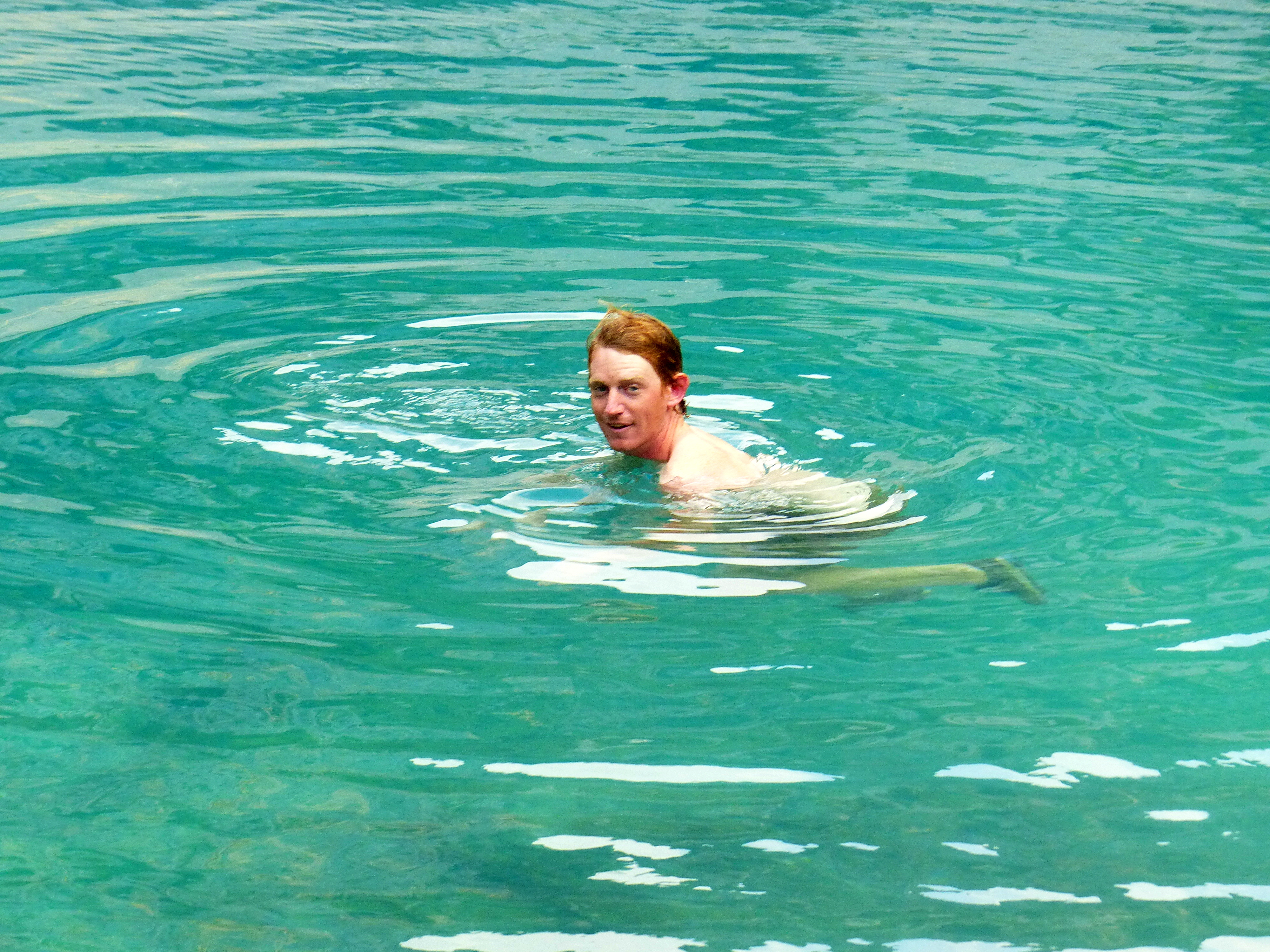
With such a lovely campsite and enough food to last us the day, we decided to stick around. We started out the morning with an extremely chilly dip in the river to wash up, breakfast and some laundry. With no electricity to power the laptop, we relaxed and read. A little after lunch, a large storm came down and raged around us for a few hours.

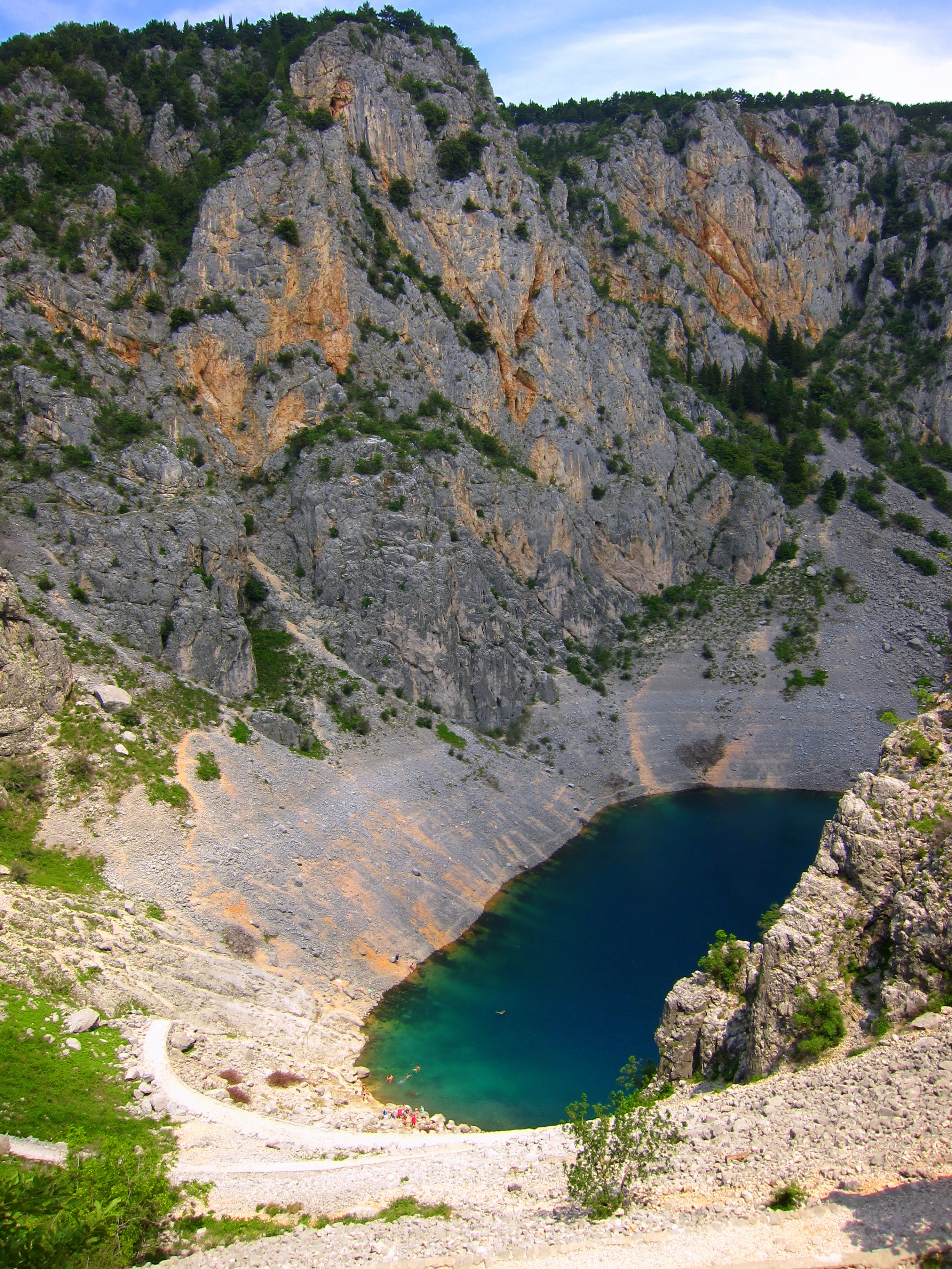
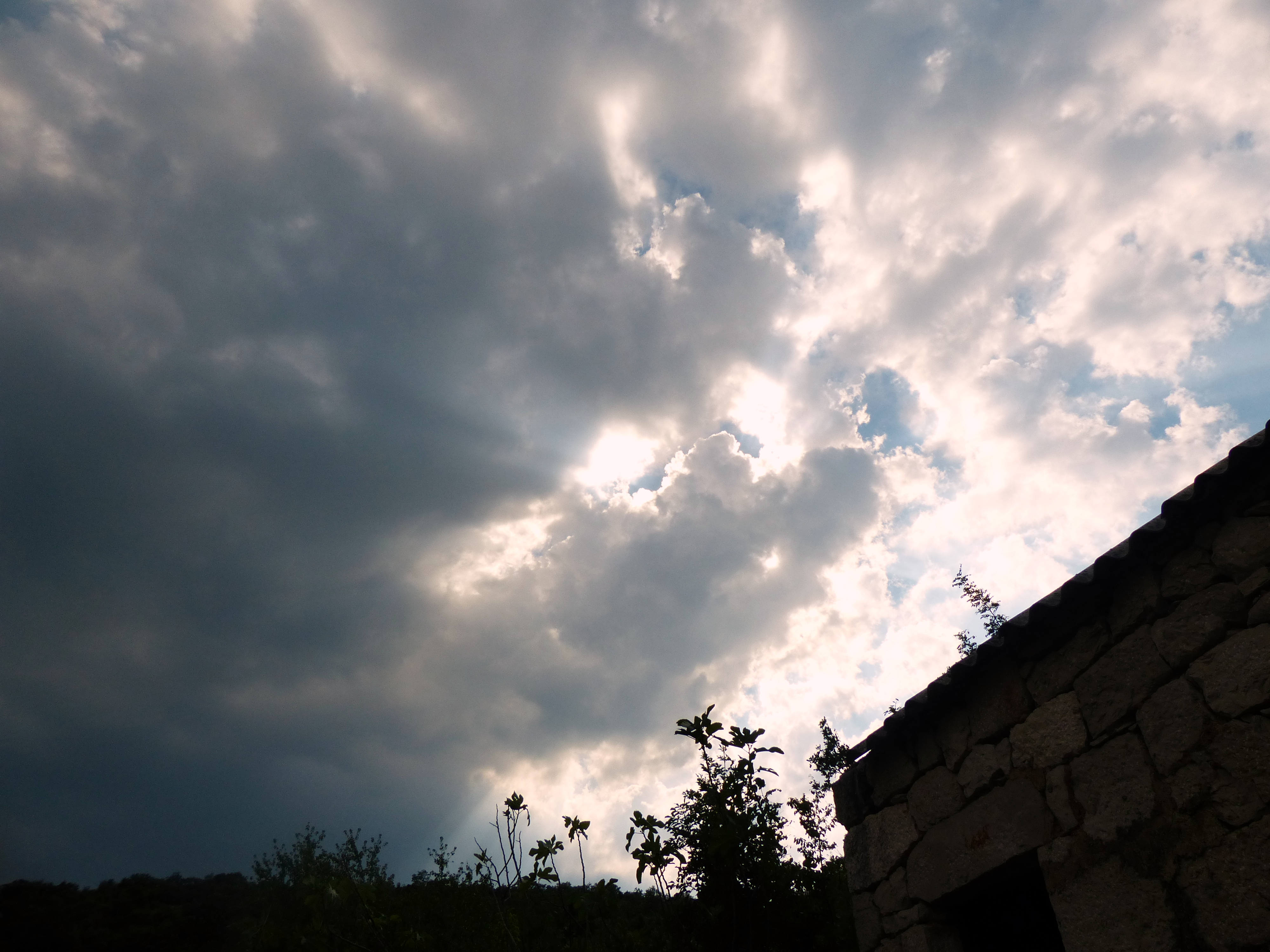
We took our time getting ready to leave camp the next day. We had a number of things that needed to dry before being packed away. We were happy to see that the dirt road did not turn into mud and we were able to ride along quickly. We were surprised to find a beautiful waterfall when we finally reached pavement again.
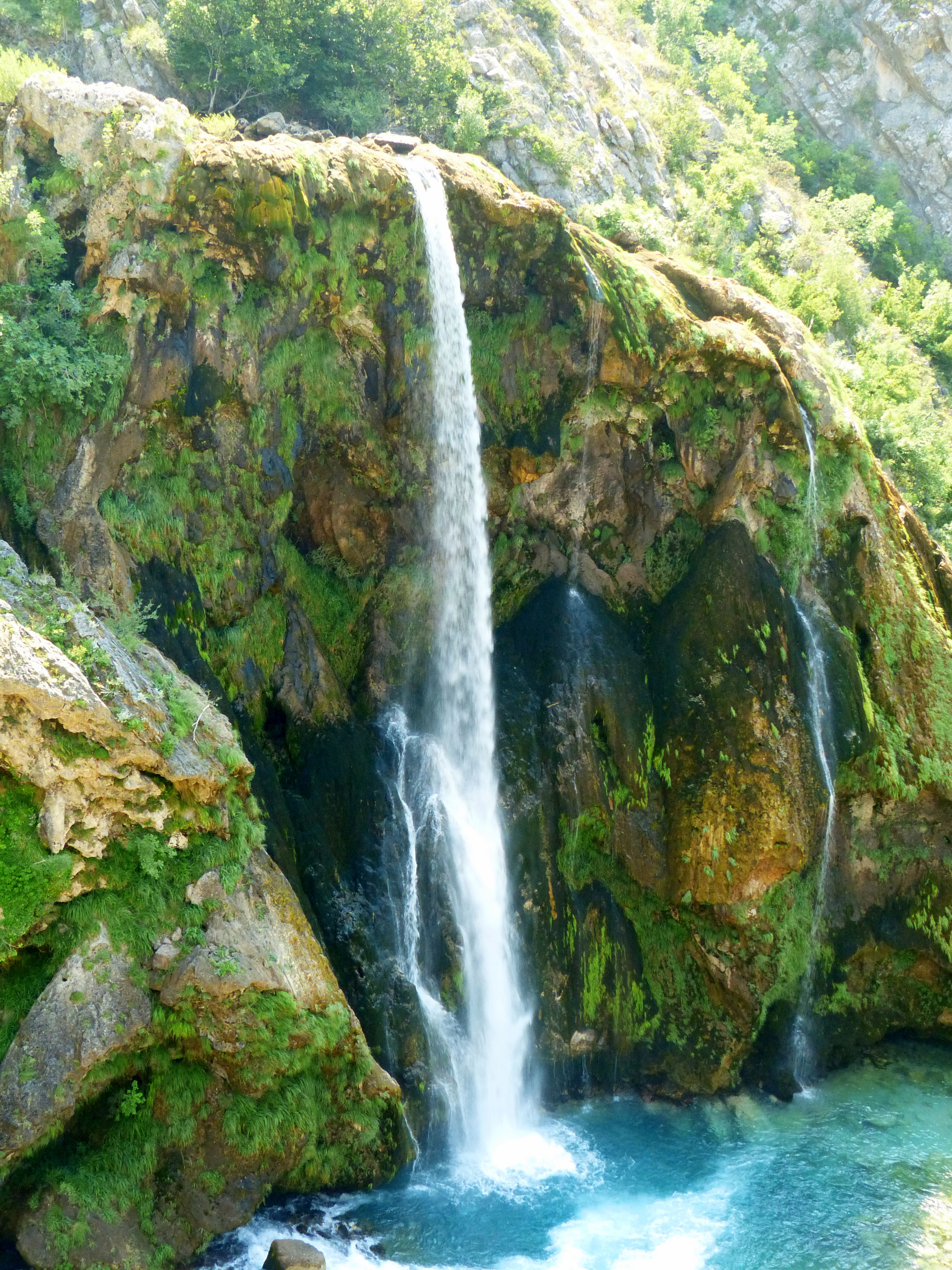
Waterfall

Waterfall

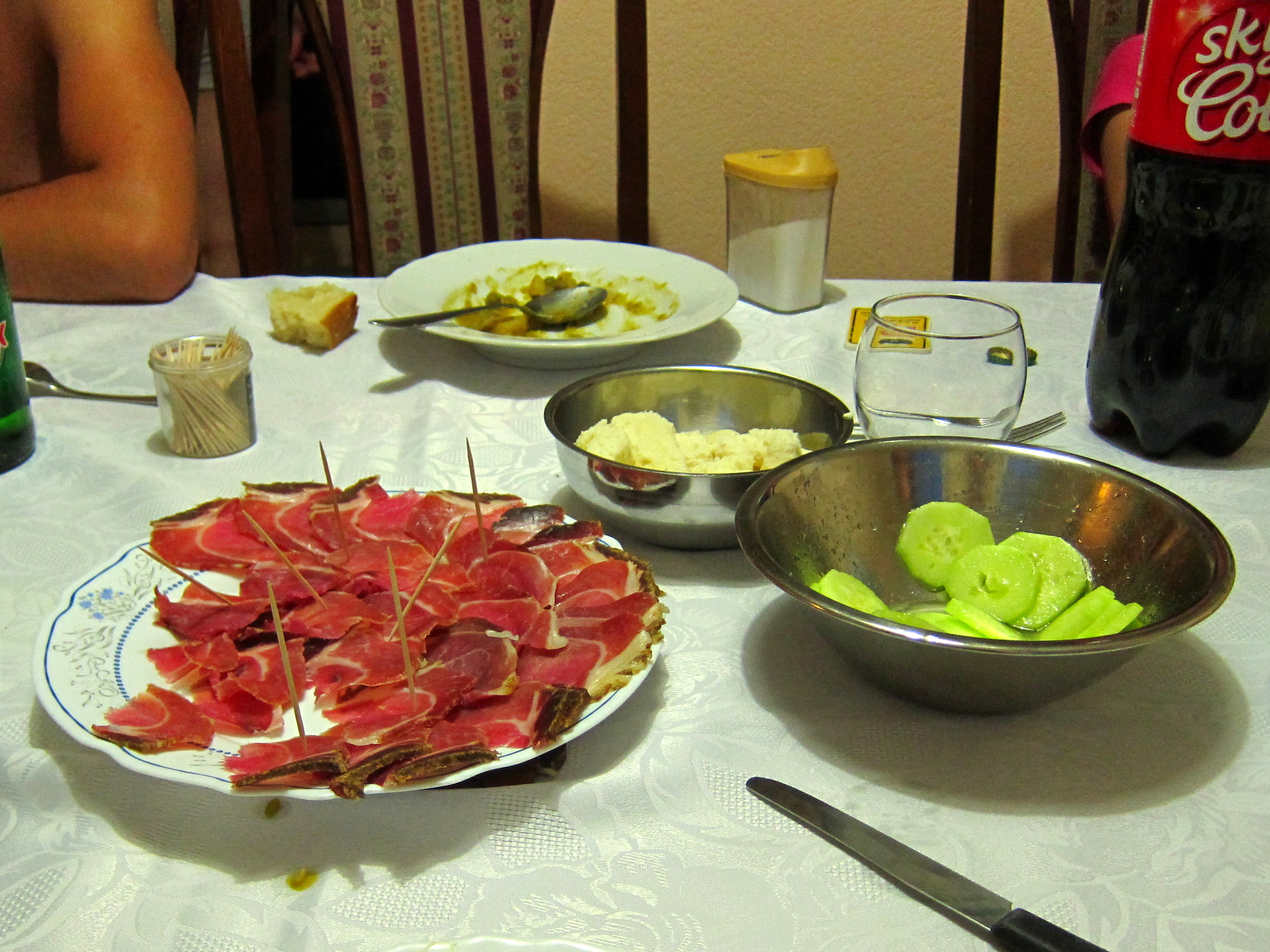
When we rolled into town, Chandler had the wonderful idea of getting some coffee and a big pizza for lunch. After not spending any money the day before, we could afford to splurge a little.
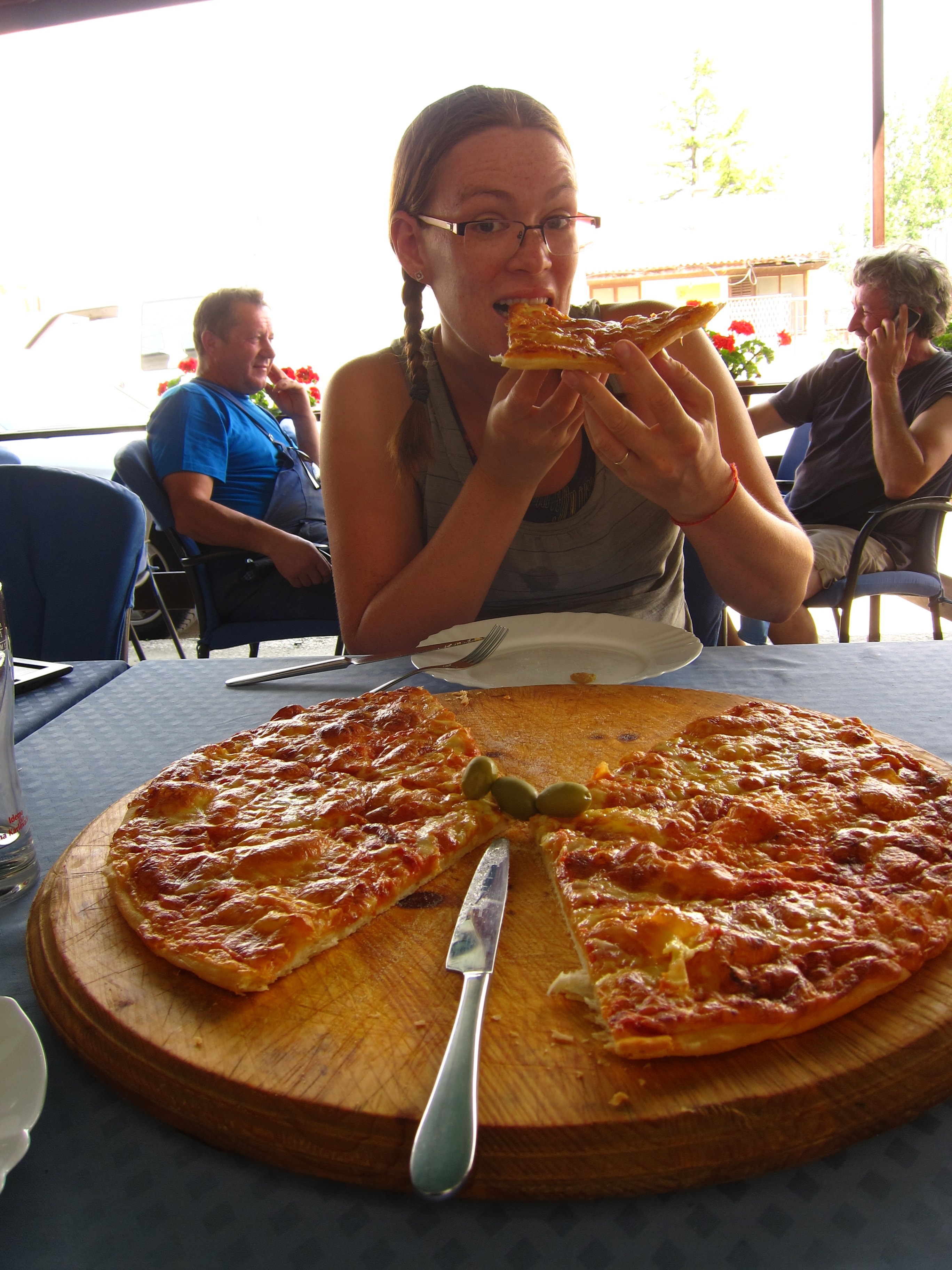
Pizza

Pizza

Not my idea of a good meal

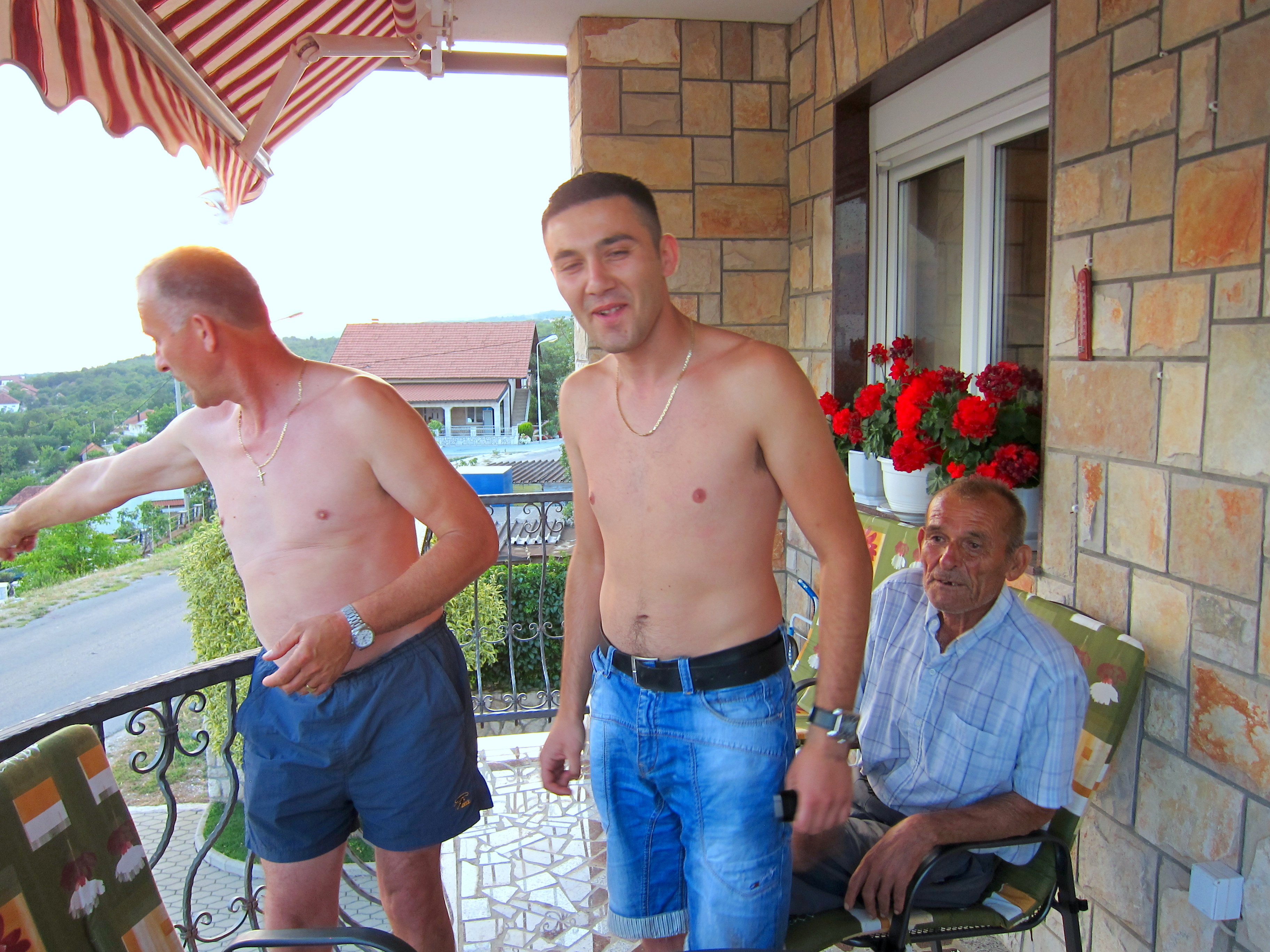
Our company during lunch

Not two minutes after leaving the restaurant it began to rain. First, just a little sprinkle, nothing that needed a raincoat. Soon, it really began to rain and we stopped to don protection. At the top of the hill leading us out of town, the lightening began. The storm moved really quickly and caught us off guard. The first lightening strike was a few miles away and within a few moments, the storm was directly overhead. No pause between lightening strike and thunder boom. That was when we both got scared.

Chandler spotted a covered bus spot and we figured it would be better to wait out the storm than to be in the center. We pulled out the playing cards and played two rounds of gin rummy before the rain was coming in sideways and soaking us. At the same point, the lightening was striking all around us. There was a high-tension powerline a few hundred feet away which seemed like the most likely thing to get hit, so we felt a sliver of safety. Almost right away a huge bolt hit a power line tower about 500 feet from us and the large ceramic insulator exploded in a blinding flash of light. This is when we took a closer look at our “shelter” which was constructed with a metal frame paneled with plate-glass… maybe not such a great spot, but we had no other option but to ride in the downpour. So we waited it out nervously.

Dealing the cards

Dealing the cards

Eventually the lightening moved a little further away and the rain let up. We seized the chance to escape and continue along our way. We could still see the storm in the distance and realized that the road was heading in the direction of the storm that just passed us and another wave was approaching from behind us. Sooner or later, we would collide again. Luckily, when the rain and lightening started up again, we found a more solid roof to put over our head.

Trying to avoid the storm

Trying to avoid the storm

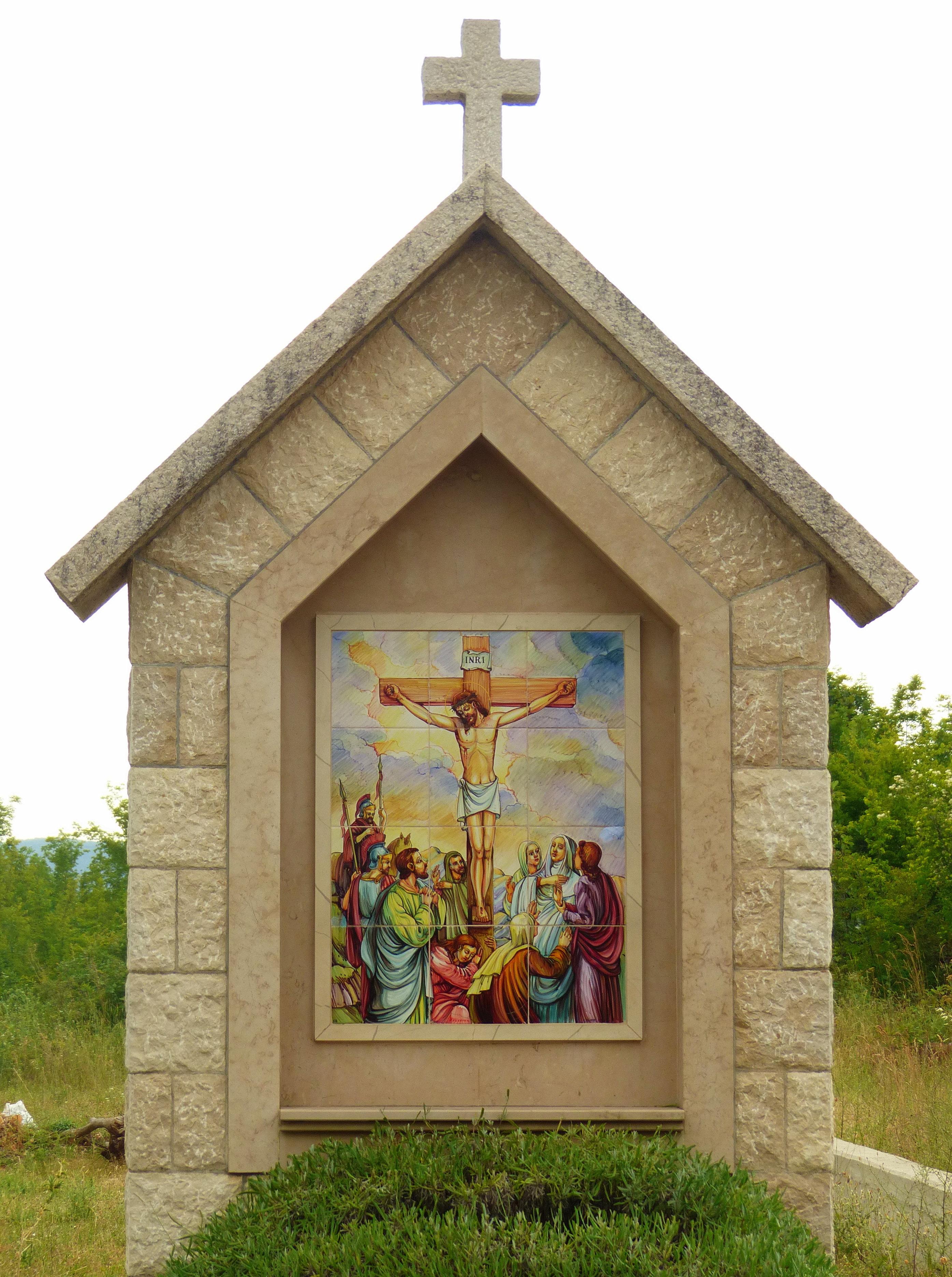
We pulled our bikes and ourselves into a tiny little chapel. It was made of stone, so felt more secure than our glass and metal bus stop. When we began discussing options for possible sleeping arrangements, the storm made a turn and the rain let up. That was a good things too, there wasn’t enough room for us to lay down with the bikes inside.

Our protection from the storm

Harbor in the storm: a self portrait

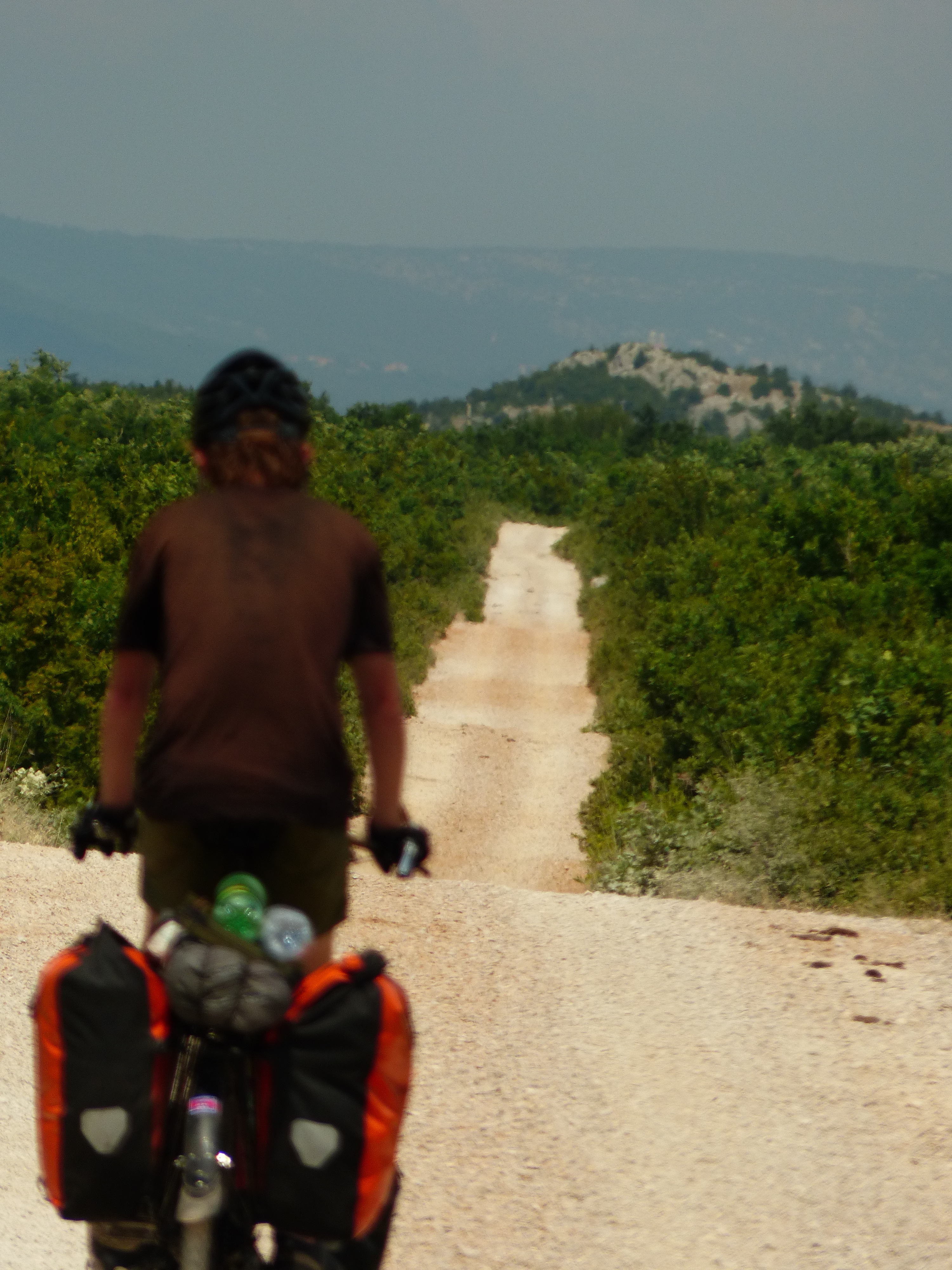
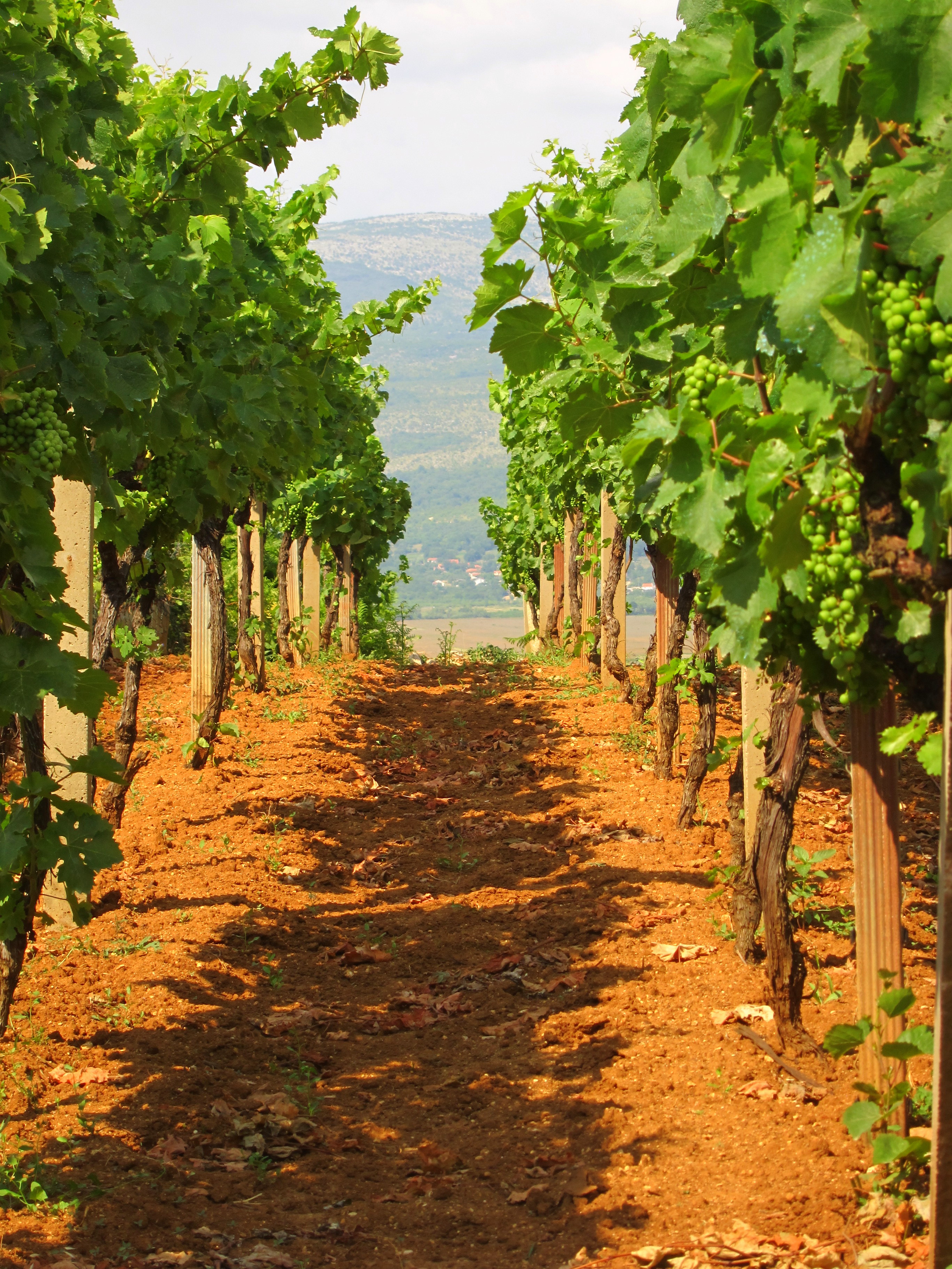
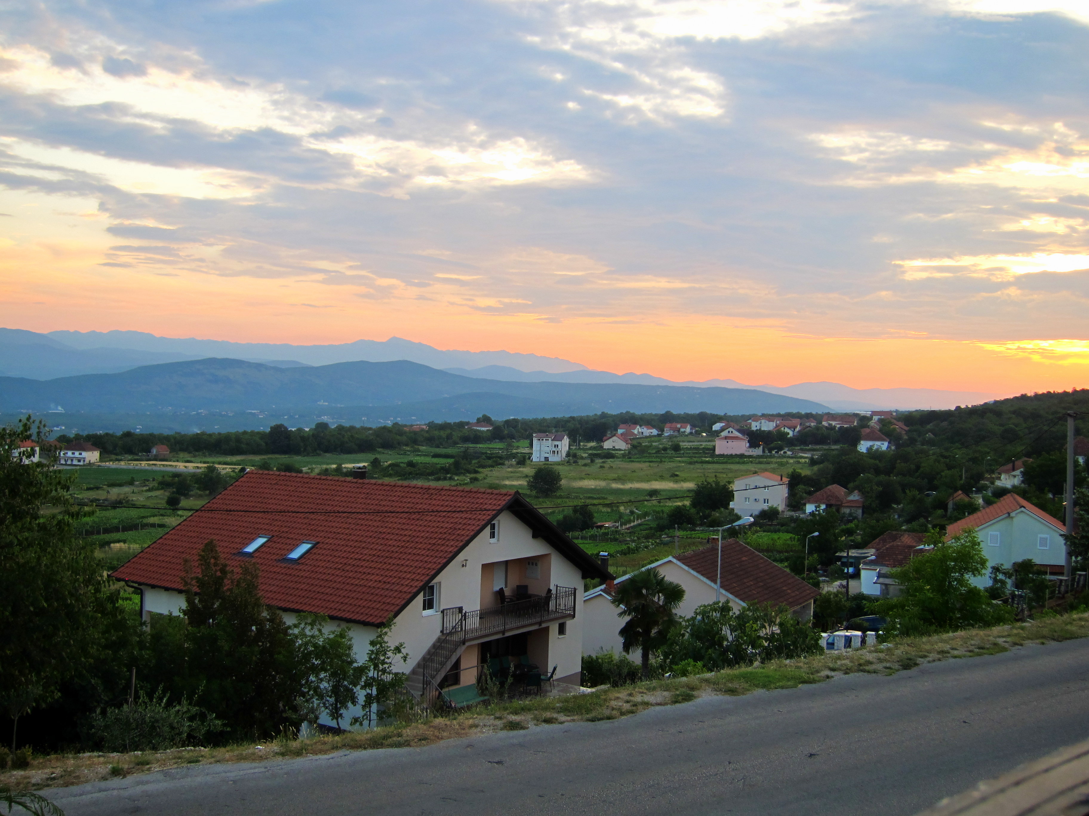
Back on the road again, we opted to take another Chandler shortcut “adventure route” to avoid the main highway. The traffic wasn’t bad on the highway, but with so much water spraying everywhere, we were worried drivers wouldn’t see us. The shortcut turned out to be a hard packed dirt road with lovely views of the valley below.

Worth the shortcut

Worth the shortcut

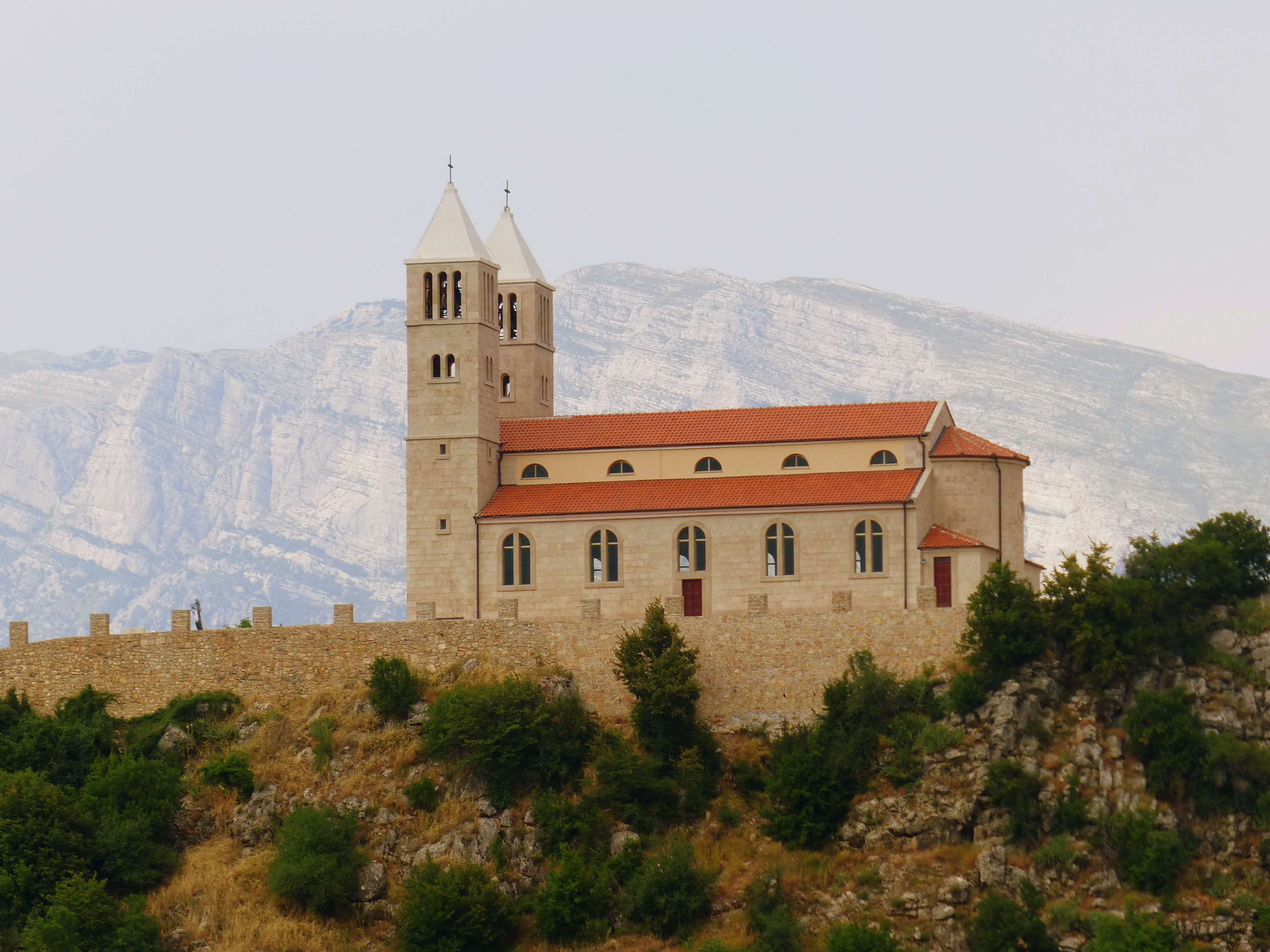
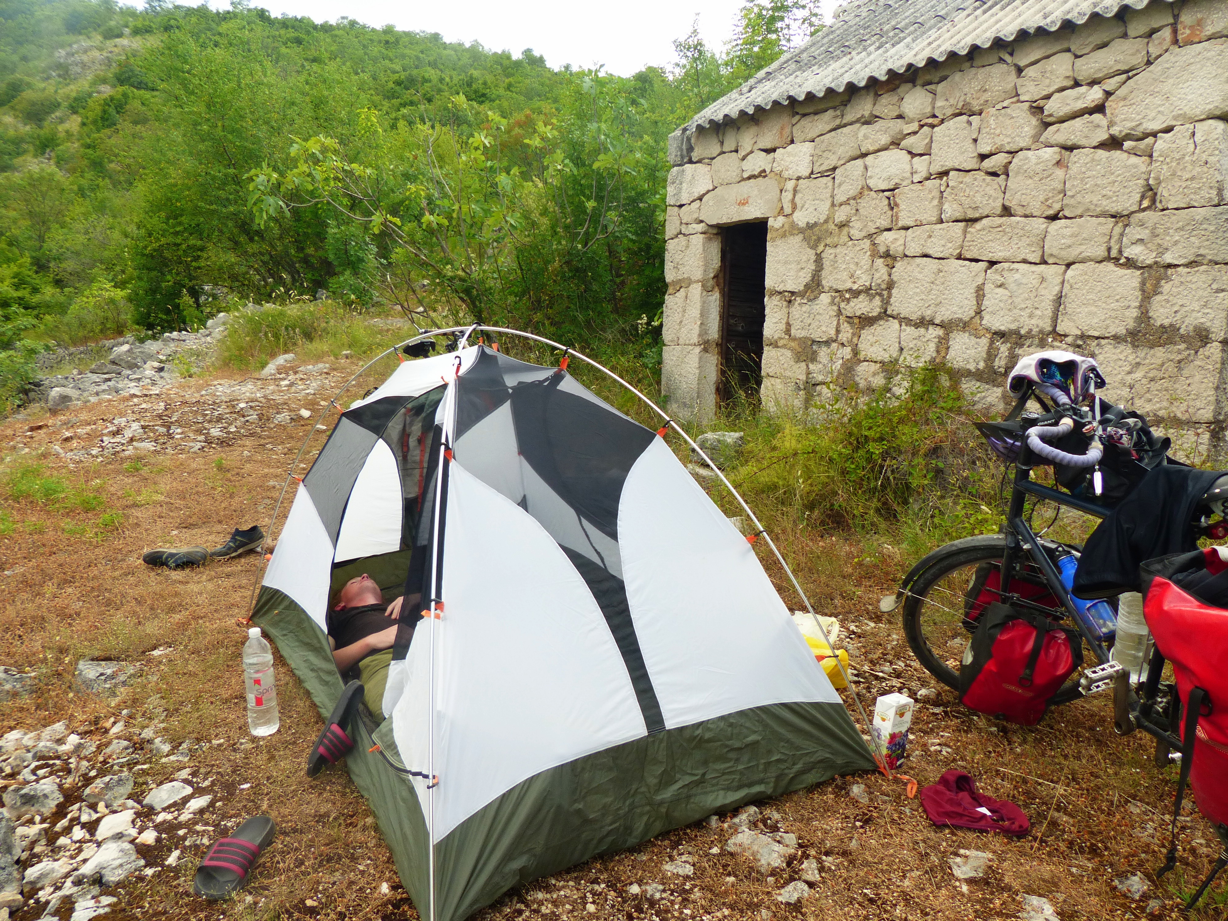
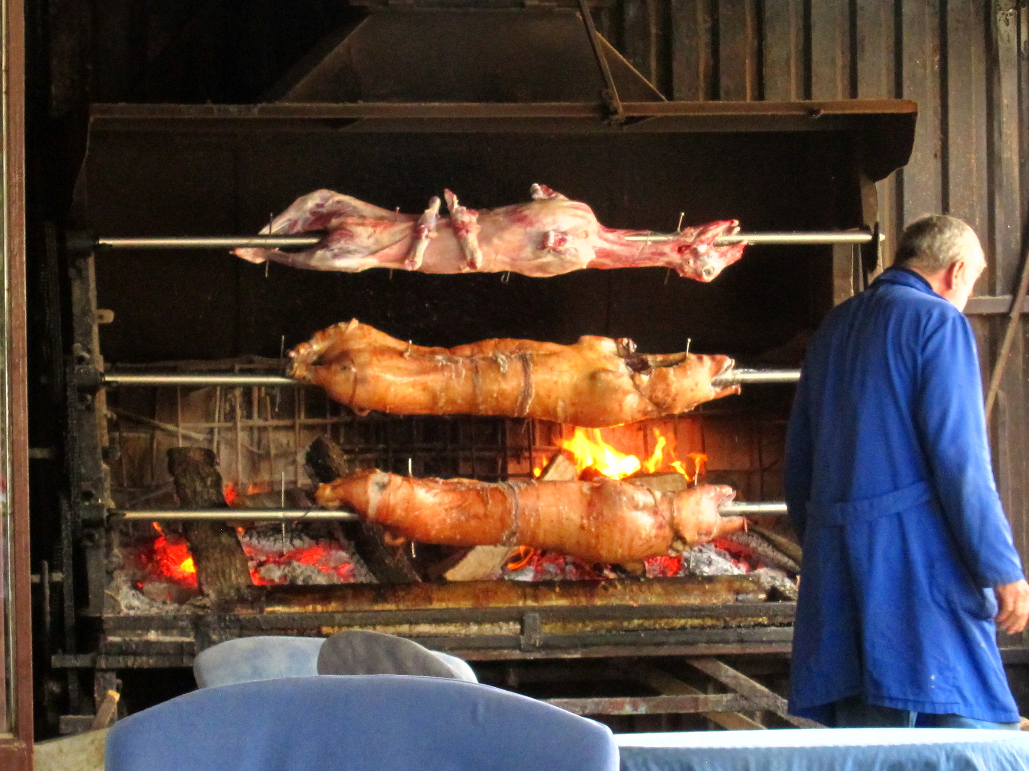
We were still being followed by rain clouds, but only getting a light drizzle. After passing through what we thought was an abandoned town, but with a thriving restaurant , we decided it was time to find a place to sleep. Miles away from a town with a hotel, camping was our only option. With the constant worry of landmines weighing on our mind, we looked for a pasture that animals had clearly grazed in. We preferred to sleep in poo than be blown up.

Chandler and the cellphone repeater

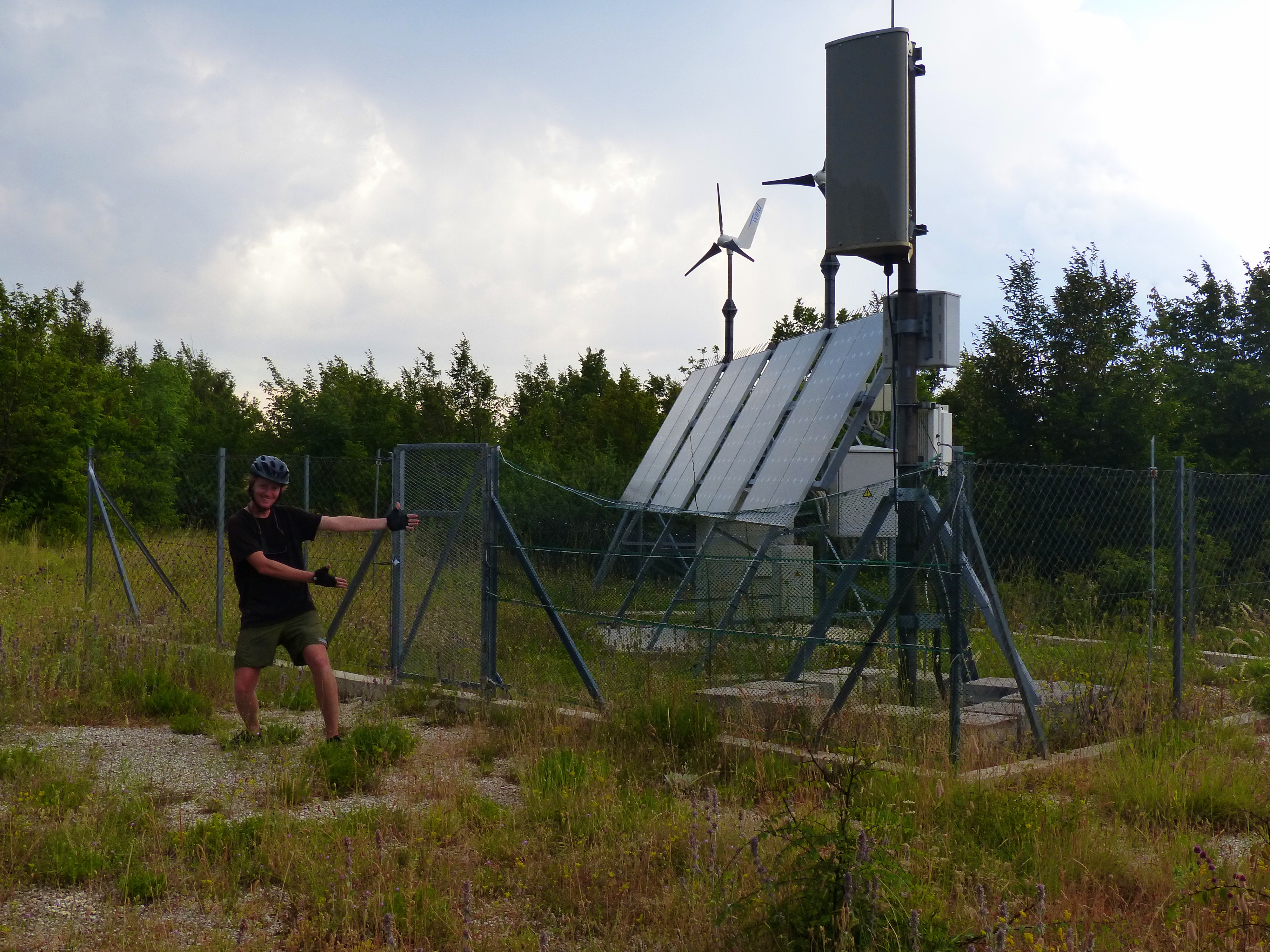
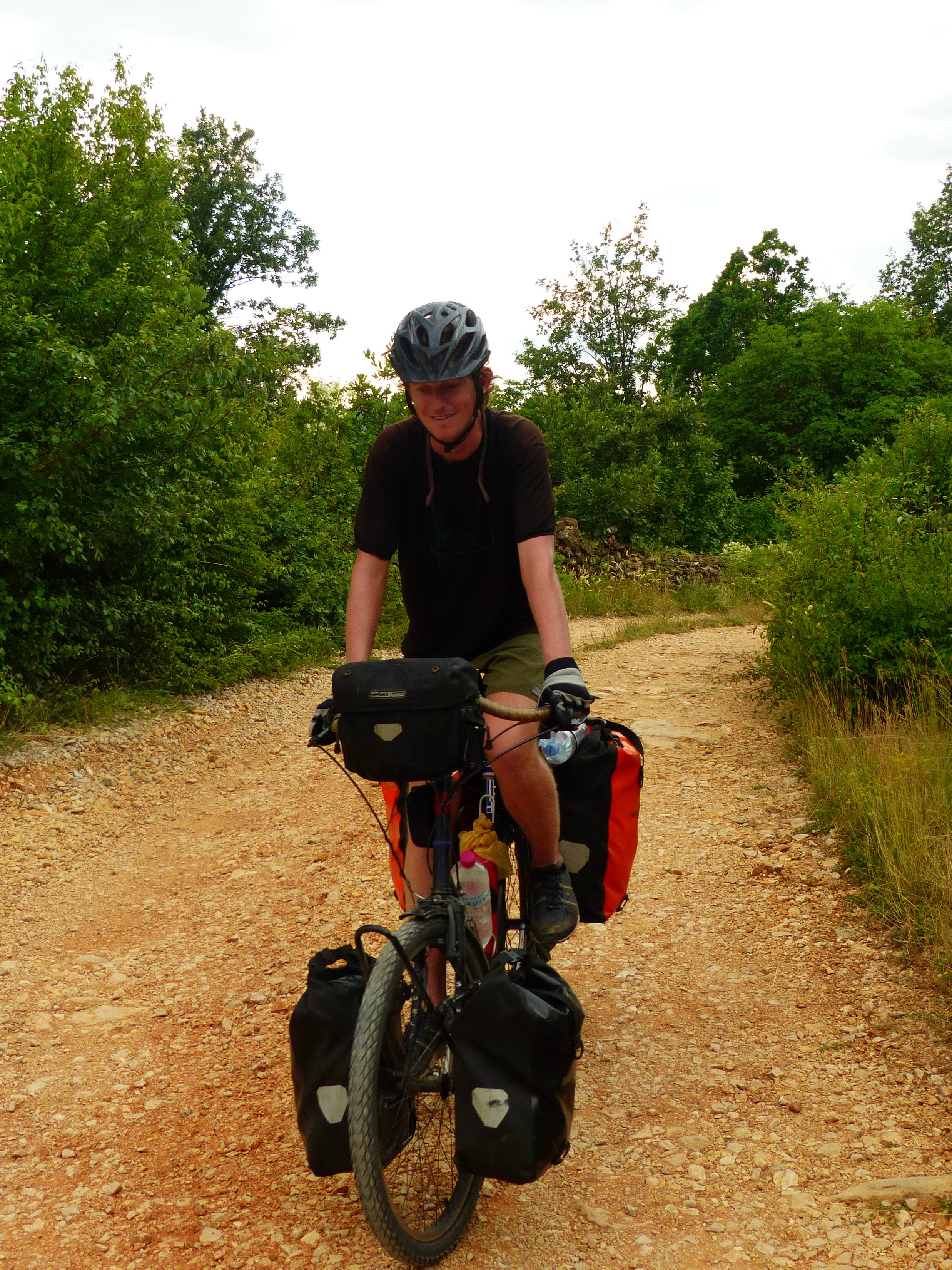
Chandler and the cellphone repeater, campsite option #1 rejected

Looks like a good place to camp

Looks like a good place to camp

Right outside of town, I notice the perfect place. A pasture surrounded by trees. This would give us protection from the rain and lightening and hide us from any people passing by. We managed to find an area without animal poo or plants with sharp thorns. Right as we began to set up the tent, it began to rain. We quickly finished the job and covered anything that couldn’t get wet and decided to have bread and cheese for dinner in the tent.

Highway to Hell

July 9, 2013

Distance: 34.8 miles  Climbing: 2447.5 ft

We were happy to wake up and see that the river was back to its normal, ankle deep level. It took a few trips back and forth to get everything across and we had numb feet by the end. The morning riding was uneventful, until we approached a large lake we needed to go around.

Lavendar

Lavender

There was a highway we could have taken to the west, but there were lots of large trucks driving like crazy so we followed some new looking bicycle route signs which indicated we should make a turn to the east and go around the back of the lake. The riding was great and quiet for a while. Then we got to some abandoned looking buildings and a fork in the road with a gravel road leading one way and a decent paved road leading the other. We chose the paved road which led into a village that looked abandoned with buildings missing walls and collapsed roofs.

Local art

Local art

Bombed rooftop

Bombed rooftop

In the middle of the ghost town, we saw a person, which was startling, making repairs to a brick wall. As we continued, it became more obvious that we were in a bombed out town that was slowly coming back to life. Eventually, we reached a dead end and a little boy came out of a house. He explained that we had come to the end of town and that the dirt road was actually the correct way go north. So, we turned around.

The dirt road started out by going around a beautiful blue lake with some cows grazing around the perimeter before going up hill. At that point, dirt turned to loose gravel pushed into windrows by automobiles so our wheels no longer got traction easily and we had to push a lot. The sun was blazing and there was absolutely no shade to the road, but there were plenty of trees in the field near us. It would not have been a problem to duck into the field and get out of the sun, except we saw signs indicating that there were landmines around. We passed a concrete bunker and we realized we were probably right in the middle of a heavily fortified part of the front line of the war. We were too scared to move off the road at all, so I ended up peeing in the middle of the road to be safe. We had 7.5 more kilometers of gravel road and landmines. We were so tired and fed up with the situation, that when we finally saw pavement and Chandler got stung by a bee, I was not surprised by the hail of curse words coming out of his mouth.

It started out nice

It started out nice

Beware of mines

Beware of mines

The road goes on forever

The road goes on forever

Back on smooth road, our moods turned around. The next few miles were over flat terrain and we were able to move quickly while feeling that we were recovering a bit. Soon our tranquil, empty road became busier and we were excited to reach the upcoming town for a little ice cream snack.

Lovely church

Lovely church

The road ended up dumping us on the highway at the far edge of town in the middle of a big hill and we didn’t have the energy to go a few miles out of our way just for an ice cream break. Instead, we started to climb and were immediately on a crowded road with lots of big trucks again, our nemeses. Beyond frustrated, we began fighting, which meant it was time for a snack.

Back on the road, we opted to take another dirt road. We were a little hesitant after our last excursion into the post-war zone road from hell, but were happy to see on the map that it was all downhill and there was no loose gravel, at least at the top of the hill… The road ended up taking us along a river with beautiful scenery including a few abandoned stone mills which sometimes sat right in the middle of the river. Nobody was around, so it was the perfect spot to start looking for a camping spot. Chandler spotted one pretty quickly just off the road down a super steep embankment.

Old mill

Old mill

It was right next to the river, but with enough trees along the road to hide us from any potential traffic. We hauled the bikes off the road and set up the tent. We considered jumping in the creek for some refreshment, but the water was ice cold and we turned around shin-deep. We had a nice time relaxing after a tough ride, glad to have found such a spectacular spot to spend the night.

Up the creek

July 8, 2013

Distance: 38.4 miles Climbing: 2263.8 ft

I was happy to leave our haunted stone house campsite, but that meant going up a big hill. We were really nervous because we didn’t have a lot of water and the sun was already blazing early. If the sun is warm and the road is steep, we end up drinking a liter every hour. With only 1.5 liters each, we felt like we were in trouble. Luckily, I noticed a young man having an argument with a young woman and had no problem interrupting them to get one of my bottles filled.

After that we crested the big hill and saw a huge map of the country on the side of the road indicating points of interest, such as castles, vineyards and beaches. It was nice to get a big picture of the country. After the map, we were surprised to stumble upon a field of ancient gravestones seemingly scattered on the side of the road.

Image

Ancient gravestone

Near the gravestones while we found another roadside map which showed the locations of several ancient forts, wells and gravestones in the immediate area. The signs weren’t in English but we could understand that that the stones were from the 14th century. We couldn’t figure out if the stones were for ordinary people or people of some influence, like priests or warriors. The gravestones depicted an array of images such as flowers or people hunting or battling.

Dancers

Dancers


Chandler and the wells

Chandler and the wells

The ride became rather dull after leaving town. We passed by fields and through towns, nothing new, until I thought I was hallucinating. Chandler was focusing on the GPS mounted on his bike and I felt like an idiot asking if there was a boat in the middle of town. No, but close. Somebody had built their house to resemble a cruise ship.

Houseboat

Houseboat


This town loves us!

This town loves us!

Noticing a road on the GPS that headed towards the river, Chandler suggested we investigate it. The road dead ended into the water after half a mile. However, across the very shallow creek was a concrete table and perfect spot for a tent. The only problem was that we were out in the open. We decided to risk it anyways. We left our bikes on the shore and waded across the river with our barbags and a bottle of wine. We figured we could read and enjoy a glass of wine, if anybody had a problem, we would hear about it.

We relaxed for over two hours, watched several tractors pass nearby and eventually realized that the farmers didn’t care if we were there. After I set up the tent and Chandler made dinner, a family came around for some fishing. I crossed the river to collect a bag from my bicycle and the father was very emphatic in indicating that water level would rise after it grew dark. This seemed strange, and we weren’t sure if we understood right, but OK.

Ferrying a bike across

Ferrying a bike across

Eventually, we decided it was time for bed and Chandler carried both bikes on his back over the water. No need to get water in the bearings if we didn’t need to. About an hour later as it was getting dark, the river started running faster. Sure enough the water was rising. We were safe, up above the waterline, next to somebody’s picnic area, but it was interesting to watch. A dam upstream was apparently opened every night and flooded the area. Good thing we had a warning ahead of time!

Croatia, lucky #13

July 7, 2013

Distance: 25.5 miles        Climbing: 1348.4 ft

The morning came too early with a knock on our door at 6am. The family wanted to go to their beach apartment in Croatia and we had already agreed on an early wake up. We had coffee and cake with Ivan, his parents and grandfather before it was time to hit the road. We took a few pictures, then hopped on the bike feeling inspired. We talked about the generosity of the family and hopefully extending that same generosity to others in the future.

Our new friends

We reached the border crossing after a few miles and were sad to be leaving Bosnia and Herzegovina after only a few days. However, not wanting to turn around, we continued on into Croatia. We didn’t notice much of a change in the first 20 miles because everything was written in the same language and had the same general feeling.  Right before the town of Imotski, a car started honking at us, which we thought was just an aggressive Croatian driver giving us a “welcome”. However, it was just Ivan and his parents honking and waving, with the windows rolled down, taking pictures of us riding. It was great to see them one more time before turning into town.

It was also a perfect time for a break. Having only eaten cake with our coffee, we were both feeling crashed after so much sugar and caffeine. It was time for a proper snack and some bike maintenance. My front wheel was clicking so loudly that Chandler could even hear it, several feet away from me. While I made us sandwiches, he quickly changed the bearings of my front wheel, same process he had done to his front wheel in China, and again in Istanbul. We haven’t really ridden much in mud or dust or immersed the bearings, so it just seems that their seals are not that great.

Chan spots land from the bus spot

Chan spots land from the bus spot

Back on the bikes, we cycled into Imotski, Croatia and headed straight to the Blue Lake. This lake is one of two famous sinkhole lakes in the area and this one was obviously a beautiful color blue. The lakes are really deep and connected to an unexplored subaqueous cave system, which is kind of spooky. We enjoyed some free internet at a nearby café before venturing down to the water.

The Blue Lake

The Blue Lake

While I did go into the water, I did not stay in long enough for Chandler to take my picture. I grew up swimming in the safety of swimming pools, while Chandler spent more time in lakes, rivers and the ocean. I tend to not stay long in places I find creepy, dark, dirty, murky or have any number of other “conditions”. Chandler only swam for a few minutes before it was too cold and came out to start the climb back to the bikes.

The brave swimmer

The brave swimmer

At this point, the clouds had come out and it was starting to sprinkle. Chandler agreed that we could stay in town if we found a place for 20€ or less, but there were very few options. We stopped at a bakery for our favorite cheese pies and asked about rooms for rent, but the baker knew of none. After a few inquires at hotels, the cheapest rate was around 60€. It was obvious we were now in expensive Europe and we’d be putting in more miles today.

Back on the road, we headed out of town. The map on the GPS was not of the best quality, so we stopped at a mega mall to look for a map. I waited outside with the bikes while Chandler went shopping. Coming back empty handed, we had no option but to continue in the basic cardinal direction we knew we needed to go.

Outside of town, we were immediately in the countryside. We skirted along a mountain ridge, we knew we would eventually have to go over, but we were avoiding as long as possible. We passed through a number of vineyards, where I was disappointed to not see anyone selling their products.

Eventually we found ourselves sitting on the road, trying to figure out what to do. I wanted to camp in the nearby pasture, but Chandler was not convinced that was the safest place. I walked up the road and found room leading behind an abandoned stone hut. Chandler thought it was a better place, I thought it was creepy and might be haunted, but agreed to camp there. We promptly set up camp outside the hut and proceeded to relax, Chandler took a nap and I read my Kindle. We could see across the valley from our vantage point and noticed a number of other stone huts scattered around the hillsides. We figured they probably belonged to old sheep or goat herders who either moved into the towns or died off.

Our campsite

Our campsite

Old door

Old door

Looks like it might rain

Looks like it might rain

We had a moment of concern after dark when a car stopped on the road above our spot, not 50 feet away, and I was sure we were going to be harassed. Luckily, after a few minutes idling, the person moved on and the worse we had to deal with was a short burst of rain.

Bosnian hospitality

July 6, 2013

Distance: 33.9 miles        Climbing: 3425.2 ft

Maybe the ride into Mostar was bad because we were expecting a headwind, no shoulder and lots of traffic. That is exactly what we got. So, we just put our heads down and pedaled as fast as we could.

Once in town, we headed straight to the famous Stari Most (“Old Bridge”) and took turns waiting with the bikes while the other went to take a look. The bridge is actually very new as the original one was heavily damaged in 1993 by Bosnian Croat bombs. There is the usual tourist area around the new bridge with people selling the usual cheap crap, but also relics from the Bosnian War, including decorated bullet shells. While the tourist areas are our least favorite places to be, we were not especially eager to get back on the road.

Mostar Bridge

Mostar Bridge

Instead, we took a long lunch over pizza and several cups of coffee. Knowing that lodging was expensive, we had to keep moving. We wound up the less busy road out of town which turned out to be pretty nice. There was still a lot of traffic, but the trucks were all routed a different way so that gave us some relief.

Vineyard

Vineyard

We are always seeking  the road less traveled, even if it adds more miles, so when given the opportunity we turned off the highway. As usual, the road started out wonderfully. We passed through a neighborhood and a wedding, with a large group of drunken men serenading the bride. The scenery was beautiful and we were having a lovely time, and then at the bottom of a huge hill the road turned the dirt. We were on another Chandler “shortcut” or “adventure route”, as he now calls them.

Chandler loves shortcuts

Chandler loves shortcuts

This one wasn’t too bad after the first mile of gravel gave way to smooth, hard dirt. There were a number of ideal free campsites, but the fear of landmines and the desire for a shower, kept us moving. We were looking for a place to camp that looked like people used it, so we didn’t have to worry about mines, but also not too used so that people wouldn’t find us and kick us out. A few sheep pastures looked OK, but nothing stood out.

Roadside attraction

Roadside attraction

The road led us through a small village. Chandler stopped to take a picture of a pretty church while I continued on slowly. When I didn’t hear him coming after a few minutes, I waited near house. As Chandler approached me, a young man hanging around the house asked if I needed any help or could he fill our water bottles. Never one to give up the chance for free water, we took his offer. Ivan, two sisters and mother immediately made us offers of juice, coke, coffee and beer.

The church Chandler stopped to photo

The church Chandler stopped to photo

One thing led to another and we found ourselves being lead next door, to his grandfather’s house, for a glass of homemade grape whiskey, rakia. We asked about camping in the area, finding out there was none, he called the hotel we were headed for to make us a reservation. It turned out, there was a wedding at the hotel that night and no extra rooms. The next hotel was at least 20km away and with the sun setting, we had no idea what we were going to do.

Sun set over Bosnia and Herzegovina

Sun set over Bosnia and Herzegovina

Ivan and his dad exchanged a few words before announcing that we would be spending the night in their extra bedroom! We were then ushered in the house, dropping our bags off in the spare room, and told that dinner would be a few more minutes. Dinner turned out to be an amazing feast of fresh cheese, beef soup, cucumbers, grilled green peppers for me, prosciutto and bread. Everything was from the garden in their backyard or from a family member’s farm. The grandfather joined us for dinner and contributed homemade wine.

IMG_5890

Dinner

IMG_5886

Ivan, his father and grandfather

After dinner, Martina, Ivan’s younger sister, gave my hair a little trim (she is going to school to be a hairdresser) and Chandler hung out with the men getting a tour of the backyard orchards. They were very curious about our trip and assumed that we normally found a family to take us in for the night. After my haircut, we all ended chatting outside and eating watermelon. At 1am, when everyone was clearly tired it was time to go to bed.

We could not believe our luck with finding Ivan and his family. We had both read about other bike tourists having similar experiences, but never thought it would happen to us. It is incredibly inspiring to meet such genuinely nice and generous people, who ask for nothing in return. It really made us think about how we want to live and treat other people, especially strangers, when we return to the US.